Maps of Texas Home > Texas Map Collection > Abilene Map
Inner City Map of Abilene
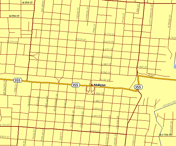
This map is a plain depiction demonstrating the spatial relationships of this area with a basic group of elements.
You are allowed to use this web page and employ it in your research. Linking back to this resource would be helpful.
Supposing you are looking for aid retrieving a map, a specific map, or are looking for a high quality personalized map, simply get in touch with us.
Order good custom-built maps from us. Cuztomized maps by YellowMaps embrace a refreshing combination of details, e.g.: alleys, scale bar, coordinates, caves, indian reserves, territories, falls, or natural resources sites, etc. Types of maps vary from physical to orthophoto, folded to rolled, global to public use microdata areas.
High Quality maps are thorough, up to date, and not old. Skillful map-making by YellowMaps.
To purchase paper maps, such as wall maps, country maps, or hiking maps, you can go to our online map store It contains thousands and thousands maps.
Have trouble printing or downloading this map? Just contact us.
Back to Texas map collection