Maps of Texas Home > Texas Map Collection > Amarillo Map
Inner City Map of Amarillo
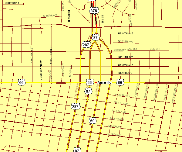
The above is a classic plan that sports the spatial relationships of this neck of the woods with a basic assortment of map elements.
You may always share this file and take advantage of it for a variety of purposes. Giving credit to this source would be considerate and well thought of.
In the event you are looking for aid retrieving a map, a specific map, or are looking for a first-rate specially made cartographic design, please contact us.
Procure suitable custom-made maps from us. Our custom maps have a wholesome mixture of map components, such as: streets, legend, coordinates, air navigation features, major agglomeration areas, territories, falls, or river features, etc. Types of maps reach from regional to wall, folded to rolled, electoral district to places.
First-Rate maps are succinct, up to date, and not old. First-Rate map design by YellowMaps.
To order paper maps, like backroad mapbooks, country maps, or hiking maps, just go to our online map shop It contains tens of thousands maps.
Cartography is so much fun. Just sit back in your chair and travel states, provinces, and countries, and never even move a leg. Who doesn't like that?
Back to Texas map collection