Maps of Texas Home > Texas Map Collection > Corpus Christi Map
Inner City Map of Corpus Christi
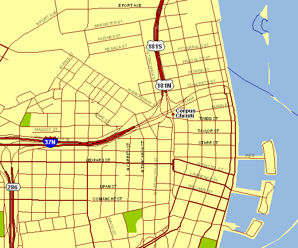
This map image is a basic plot outlining the geography of this area of interest with a classic diversity of details.
Of course, you can print this map and make use of it for many purposes. Giving credit to this source would be considerate and well thought of.
In the event you are hoping for aid locating a map, a different kind of map, or are hoping for a proper personalized map, please email us.
Purchase first-rate customized maps from us. Our custom maps have a generous medley of map components, such as: roads, scale bar, coordinate grid, district municipalities, conservation areas, towns, geographical areas, or rapids, etc. Types of custom maps range from physical to tourism, travel to research, regional to economic places.
Proper maps are exact, up to date, and not misleading. Finest map-making by YellowMaps.
To procure physical maps, e.g. road atlases, tourist maps, or hiking maps, do not hesitate to go to our map shop There, you will discover over 100,000 products.
Mapping the world. One step at a time.
Back to Texas map collection