Maps of Texas Home > Texas Map Collection > Palacios Map
Inner City Map of Palacios
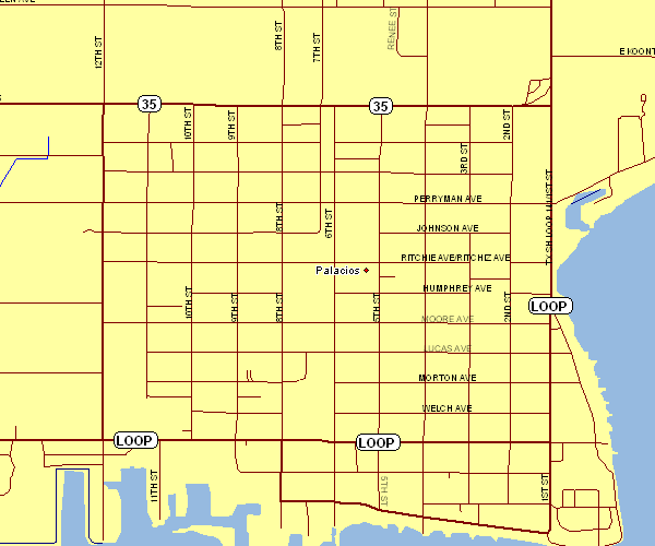
This map image is a classic plan showcasing the spatial relationships of this area of interest with a plain combination of features.
You have permission to view this map and make use of it in your work. Linking back to this resource is very much appreciated.
If you want support obtaining a map, a specific map, or want a first-class custom-made map, please inquire for details.
Order good personalized maps from us. Our custom-made maps provide a huge variety of map elements, such as: roads, legend, coordinate grid, capes, miscellaneous features, territories, hydraulic construction, or rivers, etc. Types of maps reach from topographic to city, navigation to general reference, states to voting districts.
First-Class maps are meticulous, clear-cut, and not deceptive. Skillful map production by YellowMaps.
To acquire hardcopy maps, such as road atlases, folded maps, or topo maps, please visit our map shop We have a collection of thousands and thousands map items.
Fun fact about maps: the word 'map' comes from the Latin 'mappa mundi', meaning 'world on cloth'.
Back to Texas map collection