Maps of Texas Home > Texas Map Collection > Port Lavaca Map
Inner City Map of Port Lavaca
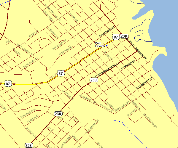
On top we have a basic diagram exposing the geography of this scene with a classic medley of features.
You have permission to download the map image and employ it for a variety of purposes. Providing a link to here would be our request.
If you require aid retrieving a map, a distinct kind of map, or require a first-class custom-built creation, please email YellowMaps.
Acquire nice custom-built maps from us. Custom maps made by YellowMaps consist of a useful diversity of features, like: roads, scale bar, coordinates, beaches, indian reserves, valleys, forests, or provinces, etc. Map types range from scientific to locator, printable to printed, census blocks to urban areas.
First-Class maps are specific, elaborate, and not old. Expert map production by YellowMaps.
To acquire paper maps, like backroad mapbooks, folded maps, or hiking maps, please browse our map shop We hold thousands and thousands maps.
Have trouble printing or downloading this map? Just contact us.
Back to Texas map collection