Maps of Texas Home > Texas Map Collection > San Antonio Map
Inner City Map of San Antonio
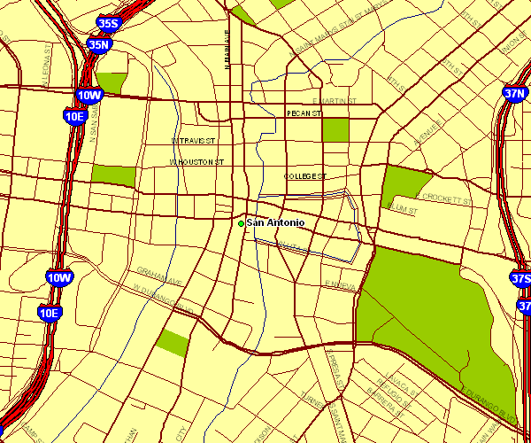
Above, you can see a classic sketch showcasing the geography of this locality with a plain diversity of elements.
You may use the map and use it for many purposes. Giving credit to this source would be helpful.
In the case that you need support acquiring a map, a specific map, or need a first-rate personalized cartographic design, you can email us.
Procure first-class tailor-made maps from us. A tailor-made product produced by us embrace a wonderful array of features, such as: parkways, map projection, coordinate grid, district municipalities, mountains, low vegetation, hydraulic construction, or road features, etc. Map types vary from cultural to land use, printable to printed, regions to places.
First-Rate maps are specific, complete, and not deceptive. Detail-Oriented map design by YellowMaps.
To buy printed maps or charts, for example navigational charts, folded maps, or maps for canoeing, quickly browse our online map shop It has thousands and thousands map products.
Whatever map you need, just contact us - we usually respond right away, or within a few hours.
Back to Texas map collection