Maps of Texas Home > Texas Map Collection > Waco Map
Inner City Map of Waco
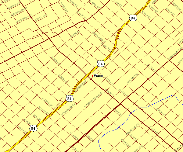
The image above is a plain map outlining the layout of this region with a basic collection of map elements.
You have permission to share the map file and use it for a variety of purposes. Giving credit to this webpage would be helpful.
In the event you are looking for assistance retrieving a map, a special kind of map, or are looking for a superior personalized preparation, just get in touch with us.
Buy suitable tailor-made maps from us. Our custom maps cover a huge assortment of map elements, in detail: dog tracks, map projection, coordinates, district municipalities, indian reserves, unincorporated areas, glaciers, or recreational sites, etc. Map types go from general reference to satellite, printable to printed, county level to consolidated cities.
Superior maps are correct, all-inclusive, and not obsolete. Distinguished map production by YellowMaps.
To buy hardcopy maps, e.g. navigational charts, country maps, or maps for exploring, please browse our online map shop We carry over 100,000 items.
Ever wondered why there are so many different maps around? Well, to cover the whole of North America at let's say 1:24,000 scale, you will need more than 100,000 maps. This would be millions of maps if you want to cover the whole earth at that scale. It's a big place!
Back to Texas map collection